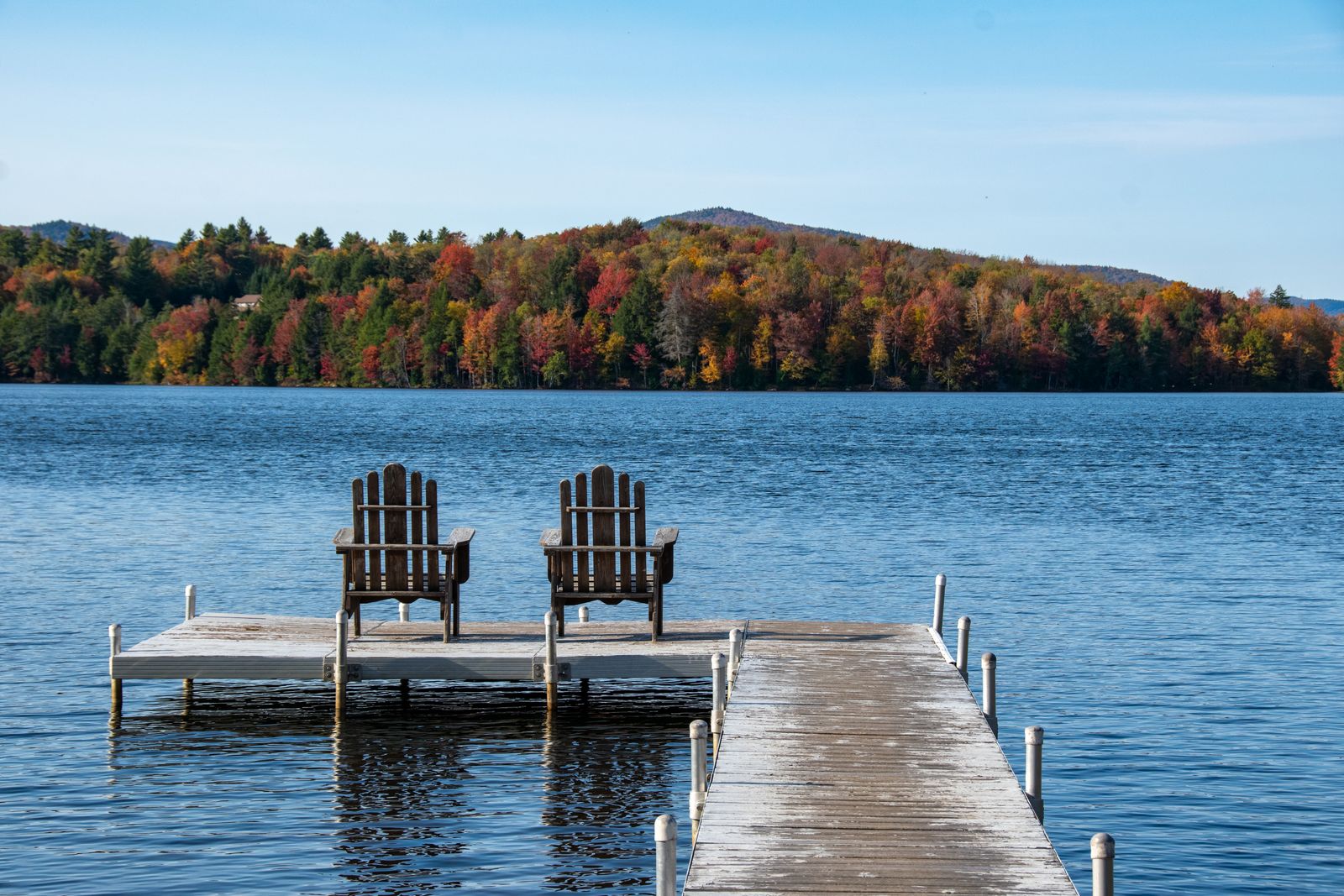
A forest of seven parks
Straddling the Caledonia–Orange line, Groton State Forest protects some 26,000 acres — the second-largest contiguous block of public land in Vermont — containing seven state parks, eight lakes and ponds, and miles of interconnected trails.
Kettle Pond & Peacham Bog
Kettle Pond’s three-mile loop circles a completely undeveloped shoreline of glacial boulders and hemlock, home to nesting loons. The Peacham Bog Nature Trail leads to one of Vermont’s largest raised peat bogs, where a floating boardwalk crosses carnivorous pitcher plants, cotton grass and black spruce.
Owl’s Head
A short, family-friendly climb reaches the Owl’s Head summit, where a stone shelter built by the Civilian Conservation Corps in the 1930s frames sweeping views over Lake Groton and the surrounding forest canopy.
A quiet base
Groton’s ponds offer swimming, paddling and lakeside camping far from crowds, making it one of the best low-key nature escapes in central Vermont — bring bug spray in early summer and a swimsuit in July.
Good to know
Common questions
How big is Groton State Forest?
About 26,000 acres — Vermont’s second-largest block of public land, with seven state parks and eight ponds.
What’s the easiest good hike?
Owl’s Head — a short climb to a CCC stone shelter with wide views over Lake Groton.
What is Peacham Bog?
One of Vermont’s largest raised peat bogs, reached by a nature trail and floating boardwalk with rare bog plants.
Every booking through Vermont Destinations funds one verified tonne of carbon removal — same room, same price, no markup.
Find a stay