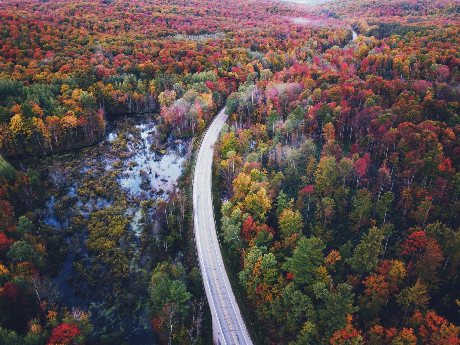
A state built for trail lovers
Vermont has more than a thousand mapped trails, and the remarkable thing is how much variety fits into short distances. You can walk a level carriage road to a quiet pond, climb stone steps to the highest trout pond in the state, or scramble across bare alpine bedrock at 4,393 feet — all within an hour’s drive of each other.
This guide covers the ten trails worth planning a trip around, in three tiers: big-view short hikes, waterfall and forest walks, and the full-day summits. Each entry carries real numbers, trailhead logistics, what to carry, and — because the day doesn’t end at the car — where to eat and what else to do nearby.
One rule threads through all of it. Vermont’s high peaks hold roughly 200 acres of rare Arctic-alpine tundra that survived the last ice age, and it lives on thin soil between the rocks. Walk only on exposed rock and marked path above treeline. A single boot print on alpine sedge undoes decades of growth.
Mount Mansfield: the Chin via Sunset Ridge
At 4,393 feet, Mount Mansfield is Vermont’s highest point. The ridge reads like a face in profile — the Forehead at the south end, then the Nose, then the Chin, which is the true summit. Sunset Ridge is the classic route: it breaks treeline early and spends its upper half on open granite with 360-degree views to Lake Champlain and the Adirondacks.
You start on gravel CCC Road from Underhill State Park, move into open hardwood, and hit exposed granite slabs by about mile 1.5. Sticky-soled boots are not optional on the upper half. At the Long Trail junction, turn north for the Chin and follow the blue blazes painted on rock.
For the descent you have two choices. Back down Sunset Ridge is easiest on the knees. Laura Cowles makes it a loop, but it is steep, wet and rocky — only descend it if the rock is bone dry.
There are no reliable water sources above treeline, so carry 2.5 to 3 litres per person. And treat the summit as a different climate: a 75°F day in Stowe can be 45°F with 40mph wind on the Chin, so a wind shell, light fleece and beanie live in the pack regardless of the forecast.
Stats — 5.3 miles round trip, about 2,600 feet of gain, 4 to 5 hours, strenuous.
Trailhead — Underhill State Park, west side off Mountain Road; $5 per adult.
Pack lunch from — sharp cheddar, cured meat and apples travel well; The Cupboard Deli in Jeffersonville if you come from the west.
Eat after — Doc Ponds in Stowe for comfort food and a deep beer list; The Alchemist for fresh Heady Topper cans.
Do nearby — drive Route 108 through Smugglers' Notch, where thousand-foot cliffs squeeze the road to one lane between fallen boulders.
Camel’s Hump: Monroe or Burrows
Camel’s Hump is Vermont’s third-highest peak at 4,083 feet and the wildest of the big ones — no lifts, no summit road, no buildings, no towers. The summit is bare rock and alpine flora, and it is the state’s defining silhouette.
Two trails do the job. Burrows, from Huntington on the west, is 4.8 miles round trip and essentially a continuous staircase of roots and boulders. Monroe, from Duxbury on the east, is 6.8 miles with a more forgiving, steady grade through northern hardwoods into balsam fir. If you dislike relentless steepness, take Monroe.
A detail most hikers walk past: just off the Alpine Trail junction near the summit lie the remains of a 1944 B-18 bomber crash. Portions of wing and fuselage are preserved on the mountain as a memorial to the crew.
Parking is the real constraint. Both lots fill by about 7:45am on summer and fall weekends, and you cannot park along the narrow dirt access roads — you will be ticketed or towed. Have a backup, such as Little River State Park.
Stats, Monroe — 6.8 miles round trip, about 2,700 feet of gain, 4.5 to 5.5 hours, hard.
Stats, Burrows — 4.8 miles round trip, about 2,400 feet of gain, 3.5 to 4.5 hours, hard.
Eat after — Blackback Pub in Waterbury for craft burgers and local cider; Hen of the Wood for a serious dinner, booked weeks ahead.
Sweet stop — the original Ben & Jerry’s factory in Waterbury, or cider donuts at Cold Hollow Cider Mill.
Do nearby — kayak or paddleboard the Waterbury Reservoir from Little River State Park.
Stowe Pinnacle: maximum reward, minimum time
Stowe Pinnacle has the best reward-to-effort ratio in the Green Mountains. It is short, punchy and steep, and it ends on an open rock knob with the Worcester Range behind you and Mount Mansfield straight across the valley.
The trail works up through hemlock and hardwood on a series of wooden and stone staircases, with a few genuinely rocky pitches, then breaks out onto the ledge. Two hours to two and a half, and you have your whole afternoon back.
Parking at the main trailhead on Upper Pinnacle Road fills fast on weekends. If it is full, use the Pinnacle Meadow Trail instead — 3.4 miles, and it adds a pleasant stretch through open pasture.
Stats — 3.3 miles round trip, about 1,520 feet of gain, 2 to 2.5 hours, moderate to hard.
Pack lunch from — Harvest Market in Stowe for baguettes, Vermont cheddar and apples.
Eat after — Idletyme Brewing Company for patio seating, soft pretzels and local drafts.
Do nearby — Stowe Village for the Vermont Country Store, or the Recreation Path for a flat 5.3-mile walk.
Sterling Pond: the highest trout pond in Vermont
Sterling Pond sits above 3,000 feet in Smugglers' Notch — the highest-elevation trout pond in the state. Midweek or early morning it is genuinely idyllic: subalpine plants, quiet water and almost no one there.
The trail starts directly across from the information station at the notch parking area, and the first quarter-mile is a run of carefully built stone steps. Much of the first three-quarters of a mile is deciduous forest and trickling water. Anyone unaccustomed to rocky, uneven ground should know it stays rough throughout. At the top, an easy one-mile loop hugs the shoreline.
Route 108 through the notch closes to through traffic in winter, which makes this a summer and autumn hike unless you are willing to ski or snowshoe in from the Stowe side.
Stats — 2.3 miles round trip, about 1,100 feet of gain, 1.5 to 2 hours, moderate.
Eat after — the Matterhorn Bar & Grill near the base of Stowe Mountain Resort for sushi, pizza and ski-lodge atmosphere.
Combine with — Bingham Falls, five minutes down the notch road.
Bingham Falls and the quick water walks
Bingham Falls is the fastest big payoff in Vermont — a half-mile out and back that drops into a deep red-rock gorge where the Little River plunges through a series of cascades into emerald pools.
The path in is a wide gravel track; the descent to the water is steep natural stone steps. The rock at the edge is extremely slick, so treat it seriously, keep children close and do not attempt the scramble down after rain. A second approach, the Mill Trail from Notchback Road, adds a longer 2.1-kilometre walk with the river beside you the whole way.
In the same tier: Quechee Gorge, in the Upper Valley, is a flat, wide crushed-gravel path along Vermont’s own 165-foot-deep glacial canyon, easy enough for anyone and only 1.4 miles round trip from Dewey’s Mills Pond to the dam and falls.
Bingham Falls — 0.5 miles round trip, easy to moderate, but steep and slick at the water.
Quechee Gorge — 1.4 miles round trip, easy, about 160 feet of gain.
Eat after Quechee — Simon Pearce, dining directly over the waterfall with the glassblowing studio below.
Do nearby — Billings Farm & Museum in Woodstock, ten minutes away.
Lye Brook Falls: the wilderness waterfall trek
In the designated Lye Brook Wilderness inside the Green Mountain National Forest, this route leads to a 125-foot cascade falling over layered bedrock — one of Vermont’s tallest waterfalls, framed by hemlock and hardwood.
The blue-blazed trail climbs gently along a 19th-century logging railroad bed above the brook. At about 1.8 miles a marked spur turns right; the terrain narrows and climbs over exposed roots and mossy boulders to the base of the falls.
Two practical notes. This is prime black bear country, so keep food packed and sealed. And the rock around the falls stays slick long after rain — admire the drop from the base rather than climbing beside it.
Stats — 4.5 miles round trip, about 900 feet of gain, 2 to 2.5 hours, moderate.
Trailhead — Lye Brook Access Road, off Route 11/30 east of Manchester Center.
Eat after — Up For Breakfast in Manchester for pancakes, Zoey’s Deli for stacked sandwiches and house potato chips, or The Black Kalv for coffee.
Do nearby — Hildene, Robert Todd Lincoln’s 412-acre estate, with formal gardens and a working goat dairy; or drive the Equinox Skyline Drive.
Mount Pisgah: the fjord of the Northeast Kingdom
If you want scenery that reads as Norwegian rather than New English, Mount Pisgah above Lake Willoughby is unmatched. The lake is a glacial trough more than 300 feet deep, sheared between Pisgah and Mount Hor, and the cliffs fall straight into it.
The South Trail climbs steadily through hardwood forest to a sequence of cliff-edge pulpits — Pulpit Rock, then the North Overlook — where you stand a thousand feet above turquoise water with Hor rising opposite. Peregrine falcons nest on these faces between March and August, and sections can be seasonally closed to protect them.
Traction matters here: the damp soil near the cliff edges stays slick long after rain stops, and the drop is unprotected.
Stats — 4.4 miles round trip, about 1,650 feet of gain, 2.5 to 3.5 hours, moderate to hard.
Trailhead — VT Route 5A at the south end of Lake Willoughby.
Pack lunch from — the Willoughby Lake Store, right on the water, for deli sandwiches, baked goods and ice cream.
Do after — swim at Lake Willoughby South Beach; the water is crystal clear and cold even in mid-summer.
Killington Peak via Bucklin: the beast of the east
At 4,235 feet Killington is Vermont’s second-tallest mountain, and the Bucklin Trail gives it a proper wilderness ascent — no gondolas until the very top.
The first two miles are almost flat, following Brewer Brook across rustic wooden bridges under beech, birch and sugar maple. It is an ideal warm-up. After about mile 2.5 the trail steepens hard into continuous stone and root staircases up to the Appalachian/Long Trail junction. From the Cooper Lodge shelter, a final 0.2-mile spur involves rock scrambling and a metal staircase to the exposed summit, where the view reaches the Adirondacks in New York and the White Mountains in New Hampshire.
The upper third stays wet and muddy late into spring and after summer storms, so waterproof boots with real lugs pay off. In early spring or late autumn, carry microspikes for iced rock near the top.
Stats — 7.2 miles round trip, about 2,500 feet of gain, 4.5 to 5.5 hours, hard.
Trailhead — Wheelerville Road in Mendon; small dirt lot that fills on weekends.
Pack lunch from — Mendon Mountain Orchard & Country Store on the way in.
Eat after — the Lookout Tavern on Killington Access Road for wings, local IPAs and a deck; or The Inn at Long Trail at Sherburne Pass for an Irish pub built into the bedrock.
Deer Leap and the Pogue: short, historic and easy
Deer Leap sits directly at the crossing of US Route 4 and the Long Trail/Appalachian Trail, and gives you a cliff-top panorama of Pico Peak and Sherburne Pass for about ninety minutes of work. Follow the white blazes uphill from the Sherburne Pass lot, then turn right at the blue-blazed Deer Leap junction and finish on a broad granite outcrop. The outcrop ends in a sheer drop — leash dogs and stay back in wet or frosty conditions.
For the gentlest walking in the state, the Pogue and Mount Tom loop sits in Marsh-Billings-Rockefeller National Historical Park, Vermont’s only national park. Twenty miles of groomed carriage roads climb through managed pine forest to the Pogue, a quiet 14-acre pond, and on to the Mount Tom summit above Woodstock village. The gravel grades are gentle enough for brisk walking, trail running or a family outing, and in winter the Woodstock Inn Nordic Center grooms them for skiing.
Deer Leap — 2.1 miles round trip, about 600 feet of gain, 1 to 1.5 hours, moderate. Eat across the road at The Inn at Long Trail.
The Pogue & Mount Tom — 4.2-mile loop, moderate, 2 to 2.5 hours. Carriage Barn Visitor Center open Memorial Day weekend to 31 October.
Choosing your walk
Matching the trail to the day you actually want.
Short alpine experience — Sterling Pond, 2.3 miles, high-elevation pond.
Summit views under 3.5 miles — Stowe Pinnacle, valley panorama from a rock ledge.
Easy footing and history — the Pogue and Mount Tom carriage roads at Woodstock.
Shaded forest and water — Lye Brook Falls, 4.5 miles to a 125-foot cascade.
Cliffs and lake drama — Mount Pisgah, 4.4 miles above a glacial fjord.
Full-day summit — Mount Mansfield via Sunset Ridge, or Camel’s Hump via Monroe.
Quickest payoff — Bingham Falls, half a mile into a red-rock gorge.
Seasonal survival guide
Vermont hiking splits cleanly by season, and the packing changes more than the trails do.
Summer, June to August, brings warm humid days at 75 to 85°F in the valleys. Bug spray is essential through early July for black fly and mosquito season. Afternoon thunderstorms build fast over the ridges, so start alpine hikes by 8am and plan to be off summits before midday. Carry 2 to 3 litres per person on the big peaks.
Foliage peak, mid-September to mid-October, gives crisp air and the year’s best visibility, with valleys at 45 to 60°F and summits often near freezing. It is also the busiest season: Stowe Pinnacle, Sunset Ridge and Monroe Trail lots fill by 7:30am on weekends. Use a three-layer system — synthetic or merino base, mid-weight fleece or light puffy, windproof and waterproof shell — and avoid cotton, which chills fast once you sweat.
Mud season, April to late May, closes trails above about 2,500 feet; the Green Mountain Club asks hikers to stay off them entirely to prevent erosion. Winter turns Mansfield, Camel’s Hump and Killington into genuine mountaineering objectives requiring traction, layers and experience.
A three-day Vermont hiking itinerary
Three days, three hubs, three summits, and the food that makes them worth it.
Day 1, Stowe and Mansfield — hike the Chin via Sunset Ridge, starting by 8am. Picnic on the summit or grab sandwiches from Harvest Market. Afternoon: drive Route 108 through Smugglers' Notch and walk into Bingham Falls. Evening: wood-fired pizza and drafts at Doc Ponds, then The Alchemist.
Day 2, Waterbury and Camel’s Hump — hike Camel’s Hump via Monroe from the Duxbury side. Lunch on burgers and cider at Blackback Pub in Waterbury. Afternoon: the Ben & Jerry’s factory and cider donuts at Cold Hollow. Dinner at Hen of the Wood, booked well ahead.
Day 3, Sherburne Pass and Quechee — hike Killington Peak via Bucklin, or the shorter Deer Leap Overlook. Lunch at The Inn at Long Trail right at the pass. Afternoon: walk Quechee Gorge or historic Woodstock. Dinner over the falls at Simon Pearce.
Where to sleep — Stowe or Waterbury for nights one and two, Killington or Woodstock for night three; compare live prices in the search below.
Leave no trace in the Green Mountains
Two habits protect nearly everything that matters here. Walk straight through mud puddles rather than around them — going around is how a one-foot trail becomes a six-foot scar. And above treeline, step only on rock and marked path; the Arctic-alpine plants on Mansfield and Camel’s Hump are ice-age relics living on almost no soil.
Pack out all food waste, including apple cores and peels, which take years to break down in cold conditions. Keep dogs leashed on cliff-edge trails and in alpine zones. And in wilderness areas like Lye Brook, remember bikes and drones are prohibited outright.
Then go and enjoy the other half of the day. Compare live prices in the search below, with free cancellation on most rooms.
Good to know
Common questions
What is the best short hike in Vermont?
Stowe Pinnacle — 3.3 miles round trip with about 1,520 feet of gain, two to two and a half hours, ending on an open rock ledge with views across the Stowe valley to Mount Mansfield. Sterling Pond, at 2.3 miles, is the easier alternative with a high-elevation pond at the top.
How hard is Mount Mansfield via Sunset Ridge?
Strenuous: 5.3 miles round trip, about 2,600 feet of gain, four to five hours, with the upper half on exposed granite requiring sticky-soled boots. Carry 2.5 to 3 litres of water — there are no reliable sources above treeline — and a wind shell regardless of the valley forecast.
Which Camel’s Hump trail should I take?
Monroe from Duxbury is 6.8 miles with a steadier grade; Burrows from Huntington is 4.8 miles but essentially a continuous staircase of roots and boulders. Both lots fill by about 7:45am on summer and fall weekends, and roadside parking is ticketed or towed.
Where is Vermont’s tallest accessible waterfall hike?
Lye Brook Falls near Manchester — a 125-foot cascade at the end of a 4.5-mile round trip on an old logging railroad bed in the Lye Brook Wilderness. The rock stays slick long after rain, so view it from the base.
When should I hike in Vermont?
Mid-September to mid-October for the best air and views, but expect trailhead lots full by 7:30am. Summer works if you start alpine hikes by 8am to beat afternoon storms. Avoid trails above 2,500 feet during April and May mud season.
Every booking through Vermont Destinations funds one verified tonne of carbon removal — same room, same price, no markup.
Find a stay